
Digital Transformation
-
Choosing Between MDR vs. EDR: What Fits Your Security Maturity Level?
If you’re weighing MDR versus EDR, you probably know what each provides, but deciding between the two isn’t always easy. The actual challenge is determining which one suits your security maturity, internal capabilities, and response readiness. Some organizations already have analysts, 24×7 coverage, and SIEM tools, so EDR could play well there. Others are spread…
-

What an IT Consultant Actually Does During a Major Systems Migration
System migrations don’t fail because the tools were wrong. They fail when planning gaps go unnoticed, and operational details get overlooked. That’s where most of the risk lies, not in execution, but in the lack of structure leading up to it. If you’re working on a major system migration, you already know what’s at stake:…
-
LiDAR vs Photogrammetry: Which One Is Right for Your GIS Deployment?
Both LiDAR and photogrammetry offer the accuracy of spatial data, yet that doesn’t simplify the choice. They fulfill the same function in GIS implementations but do so with drastically different technologies, expenses, and conditions in the field. LiDAR provides laser accuracy, as well as canopy penetration; photogrammetry provides high-resolution visuals, as well as velocity. However,…
-

How to Build a Digital Roadmap for Upstream Oil and Gas Operations
Most upstream oil and gas teams already use some form of digital tools, whether it’s SCADA systems, production monitoring software, or sensor data from the field. These are all examples of oil and gas technology that play a critical role in modernizing upstream workflows. But in many cases, these tools don’t work well together. The…
-

Can RPA Work With Legacy Systems? Here’s What You Need to Know!
It’s a question more IT leaders are asking as automation pressures rise and modernization budgets lag behind. While robotic process automation (RPA) promises speed, scale, and relief from manual drudgery, most organizations aren’t operating in cloud-native environments. They’re still tied to legacy systems built decades ago and not exactly known for playing well with new…
-

How AgTech Startups Use GIS to Optimize Irrigation and Crop Planning
Farming isn’t uniform. In the evolving landscape of agriculture & technology, soil properties, moisture levels, and crop needs can change dramatically within meters — yet many irrigation strategies still treat fields as a single, homogenous unit. GIS (Geographic Information Systems) offers precise, location-based insights by layering data on soil texture, elevation, moisture, and crop growth…
-

Using GIS Mapping to Identify High-Risk Zones for Earthquake Preparedness
GIS mapping combines seismicity, ground conditions, building exposure, and evacuation routes into multi-layer, spatial models. This gives a clear, specific image of where the greatest dangers are — a critical function in disaster response software designed for earthquake preparedness. Using this information, planners and emergency responders can target resources, enhance infrastructure strength, and create effective…
-
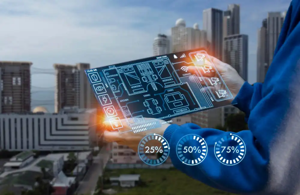
5 Ways Digital Twin Technology is Helping Utility Firms Predict and Prevent Failures
Utility companies encounter expensive equipment breakdowns that halt service and compromise safety. The greatest challenge is not repairing breakdowns, it’s predicting when they will occur. As part of a broader digital transformation strategy, digital twin tech produces virtual, real-time copies of physical assets, fueled by real-time sensor feeds such as temperature, vibration, and load. This…
-
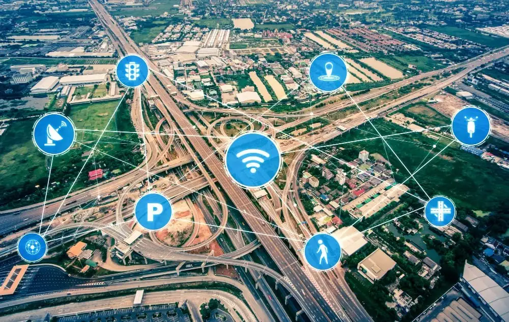
What Happens When GIS Meets IoT: Real-Time Mapping for Smarter Cities
Urban problems like traffic congestion and energy wastage are on the increase as cities get more connected. While the Internet of Things (IoT) generates a great deal of data, it often lacks spatial awareness, so cities cannot respond in an effective manner. In practice, 74% of IoT projects are considered to fail, often due to…
-

How to Structure Tier-1 to Tier-3 Escalation Flows with Incident Software
When an alert hits your system, there’s a split-second decision that determines how long it lingers: Can Tier-1 handle this—or should we escalate? Now multiply that by hundreds of alerts a month, across teams, time zones, and shifts—and you’ve got a pattern of knee-jerk escalations, duplicated effort, and drained senior engineers stuck cleaning up tickets…