
GIS
-
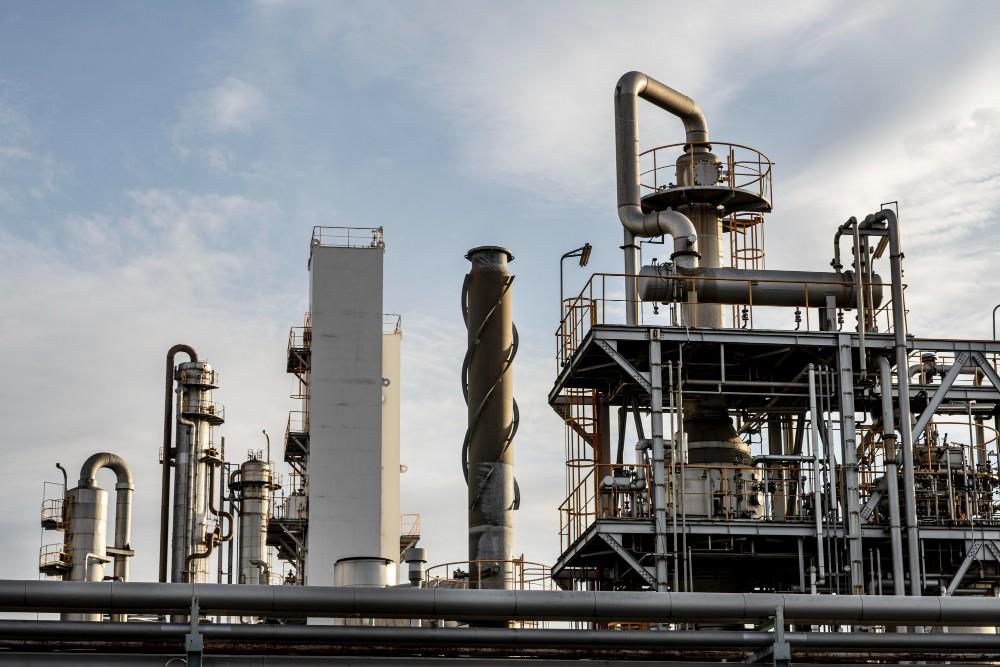
4 Ways Digital Transformation Makes Oil & Gas Operations Safer
Oil and gas operations walk a tightrope every single day. A small leak might go unnoticed, or a maintenance alert that gets buried in an email. Someone in the field can make a call based on an outdated map. Any of these situations can turn into a disaster. And the result? You may end up…
-

How Enterprise GIS Optimizes Utility Networks & Reduces Energy Losses
What you cannot see, you cannot save in the utility sector. Power distribution companies have struggled with a frustrating reality for decades. They pump massive amounts of electricity into the grid, but a large percentage disappears before it ever reaches the customer’s meter. These are known as Aggregate Technical and Commercial (AT&C) losses, and they…
-
GIS Mapping: 9 Use Cases That Are Powering Smart Cities & Infrastructure
Smart cities are no longer futuristic ideas as they are actively being designed, funded, and built across India. With rapid urban growth, rising infrastructure demand, and increasing pressure on resources, city planners and government agencies need smarter ways to manage land, water, transport, public services, and emergency response. This is where GIS mapping (Geographic Information…
-

5 Ways GIS Can Help Logistics Companies Optimize Delivery Routes
Imagine a delivery driver navigating city streets without a map, traffic updates, or insight into customer demand, chaos, delays, and missed deliveries are inevitable. Now imagine the same driver armed with GIS-powered insights, real-time traffic data, and optimized routes tailored to every delivery. The difference is dramatic: faster deliveries, lower fuel costs, and happier customers.…
-

LiDAR vs Photogrammetry: Which One Is Right for Your GIS Deployment?
Both LiDAR and photogrammetry offer the accuracy of spatial data, yet that doesn’t simplify the choice. They fulfill the same function in GIS implementations but do so with drastically different technologies, expenses, and conditions in the field. LiDAR provides laser accuracy, as well as canopy penetration; photogrammetry provides high-resolution visuals, as well as velocity. However,…
-

How AgTech Startups Use GIS to Optimize Irrigation and Crop Planning
Farming isn’t uniform. In the evolving landscape of agriculture & technology, soil properties, moisture levels, and crop needs can change dramatically within meters — yet many irrigation strategies still treat fields as a single, homogenous unit. GIS (Geographic Information Systems) offers precise, location-based insights by layering data on soil texture, elevation, moisture, and crop growth…
-
Using GIS Mapping to Identify High-Risk Zones for Earthquake Preparedness
GIS mapping combines seismicity, ground conditions, building exposure, and evacuation routes into multi-layer, spatial models. This gives a clear, specific image of where the greatest dangers are — a critical function in disaster response software designed for earthquake preparedness. Using this information, planners and emergency responders can target resources, enhance infrastructure strength, and create effective…
-
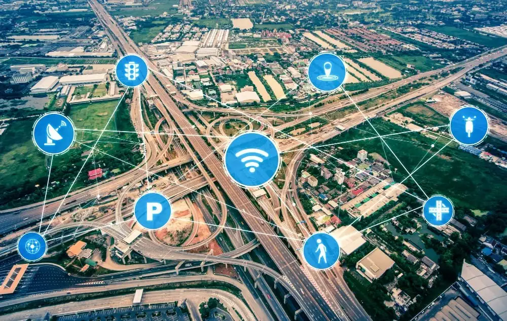
What Happens When GIS Meets IoT: Real-Time Mapping for Smarter Cities
Urban problems like traffic congestion and energy wastage are on the increase as cities get more connected. While the Internet of Things (IoT) generates a great deal of data, it often lacks spatial awareness, so cities cannot respond in an effective manner. In practice, 74% of IoT projects are considered to fail, often due to…
-
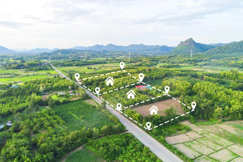
How GIS Companies in India Use Satellites and Drones to Improve Land Records & Property Management?
India, occupying just 2.4% of the world’s entire land area, accommodates 18% of the world’s population, resulting in congested land resources, high-speed urbanization, and loss of productive land. For sustainable land management, reliable land records, effective land use planning, and better property management are essential. To meet the demand, Geographic Information System (GIS) companies use…
-

Understanding Big Data in GIS Applications: How It Shapes Our World
What if we could predict traffic jams, track pollution spread, and optimize city planning—all in real-time? Significant data infusion into geographical information systems (GIS) and advanced GIS services has made all these possible. The geospatial data analytics market has been growing globally, valued at $88.3 billion since 2020. This growth shows how organizations are using…