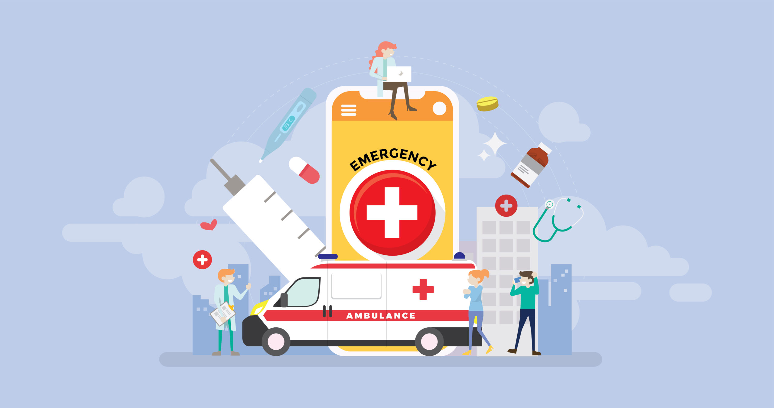
We feel alert as soon as we hear the word Ambulance! Ambulances are always in pursuit of reaching to patients or carrying them to hospitals with least minimum time. Ambulance services, also called as ‘mini-hospitals’ or ‘mobile-hospitals’, can play a vital part in saving one’s life. In a life-death situation, each second counts for ambulance. As ambulances set out each day and night to serve the patients/victims and get them to nearest medical support, GPS tracking system can assist them with its live tracking and other multiple features, and save many more lives.
Following are some of the important reasons why GPS tracking device is essential for ambulance services-
- Assign the Nearest Ambulance
In case of emergency where each second counts, the time needed to reach the patient for an ambulance should be least. GPS tracking system gives the manager ‘live tracking’ of every ambulance in their fleet. Thus, when the hospital gets a call for emergency ambulance service, the manager can assign an ambulance which is nearest to the location of emergency. The time for ambulance to reach to patient can thus be minimized.
- Assess Driver’s behavior
The admin or the manager can assess the driver’s behavior by the tracking feature, notifications & route history features. The manager can assess if the driver has taken the most optimal route, or if he/she has taken any unauthorized stops, or if the said instruction from authorities were followed or not, and the pattern of their driving can be assessed too. Also, the system can assist to determine the shortest or the most efficient route to reach the destination. This can save a lot of time which can be prove vital in cases of emergency.
- Send Real-time Data to Hospital Authorities
GPS tracking system, when installed on ambulances, gives its live location and the speed at which it is traveling, to the admin or manager from hospital. The hospital can take subsequent necessary measures and be prepared with the required equipment or medicines, by determining the accurate time required for ambulance to reach the hospital.
- Curtail Unnecessary Expenses
GPS tracking system can help drivers in assessing shortest route with its Trip History feature, & thus saving fleet’s fuel expenses. Also the system reminds the managers for upcoming maintenance of vehicle; making sure the vehicle is maintained properly. The GPS tracking system also gives a data of driver’s behavior, rash driving, harsh braking, etc. upon which the authorities can ask the drivers to drive cautiously or take any subsequent actions on it thus avoiding unnecessary maintenance costs.
- Securing the ambulance
The security of ambulance vehicles can be maintained as an alert is sent to the admin in case the vehicle crosses a virtually ‘user-set’ perimeter. Ambulances are equipped with high value & expensive machinery & equipment. Thus, authorities can protect their ambulances and save losses.
- Maintain Recommended Temperature for Drugs or Medicines
The ambulances carry with them life-saving equipment & machines in which even a minor variation in temperature can spoil the medication. Thus it is obligatory to maintain the recommended temperature. The GPS tracking systems have temperature sensors on the devices installed on ambulances that alert the admin through notifications, SMS’s for any temperature variation. Thus, any adverse circumstances can be avoided.
- Multiple Admin Access
In case wherein hospitals operate several ambulance services across various locations, the system can be used by multiple sub-managers assigned by the managers. The tasks of each sub manager can be assigned on the basis of number of ambulances, specific areas, etc.
- SOS & alerts
The GPS tracking system has an SOS button which can be triggered by driver in case of any emergency situations that alerts the admins or authorities. Necessary measures can be taken immediately by the admins by sending immediate help. Also the admins are alerted with many alarms and notifications like Vibration alert, over speed alert, harsh braking alert, etc thus keeping the admin updated instantly for any instance. The whole system can be managed from mobile or laptops. Thus, giving ease-of-use to admin and help them to take important decisions anytime, anywhere.
When it is a matter of ‘life’ & ‘death’, every decision made by the medical authorities counts and so does every second of time. GPS tracking system can play a crucial role in saving one’s life by enabling the authorities to take informed decisions with the help of the right data provided by the system at the right time and optimize emergency response. With more innovations and evolving technology update, GPS tracking system will prove to be an integral part in ambulance service’s success.
We understand the importance of knowing that your vehicle is secure and on your ease to track, that’s why we are providing One Stop Solution for all your safety and tracking problems. To know more about our services contact us on www.scstechindia.com/contact